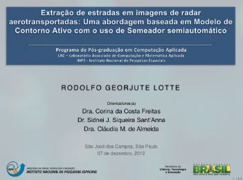
Roads center-axis extraction in airborne SAR images: an approach based in active contour model with the use of semi-automatic seeding
Download dissertation Download defense Related paper
Abstract
Info! Dear researcher/scientist/academic, you may find some Wikipedia references in this page, which are totally directed for those that might not be familiar with terms and need a more illustrative and didatical understanding. Please, fell free to contribute at any moment.
Contextualization
Source-code and tools
Coding:
| MATLAB | C++ | Java |
IDE:
| ENVI | Netbeans |
Arts:
| Illustrator | Photoshop |
Documentation
| Kile | LaTeX |
Presentation
 The board of examiners was composed by Prof. Dr. Thales Körting (INPE), Prof. Dr. Norbert Haala (IfP-Sttutgart), Prof. Dr. Edson Mitishita (UFPR), Prof. Dr. Antônio Maria G. Tommaselli (UNESP-Prudente), Dr. Fabien H. Wagner (INPE), Dr. Luiz E. O. E. Aragão (INPE-Advisor), and Dr. Yosio E. Shimabukuro (INPE-Advisor).
The presentation was unanimously approved and is available physically for consultation in the collection of INPE, in São José dos Campos, in the digital library, or simply by clicking the orange button above.
Cite this dissertation
@MastersThesis{Lotte2012,
               author = "Lotte, Rodolfo Georjute",
                title = "Roads center-axis extraction in airborne SAR images: an approach based
         in active contour model with the use of semi-automatic seeding",
               school = "Instituto Nacional de Pesquisas Espaciais (INPE)",
                 year = "2012",
              address = "São José dos Campos",
                month = "2012-12-07",
             keywords = "extração de estradas, imagem de radar, modelo de contorno ativo, semeação semiautomática,
                          extraction of roads, radar image, activr contour method,
                          semiautomatic seeding.",
            committee = "Dutra, Luciano Vieira (presidente) and Sant'Anna, Sidnei João Siqueira (orientador)
            and Almeida, Cláudia de (orientadora) and Costa, Gilson Alexandre Ostwald Pedro",
           copyholder = "SID/SCD",
             language = "pt",
                pages = "160",
}